Drone inspection in Belgium: HD visual and thermal imaging to critical-infrastructure standards

PIM Consult carries out drone inspections in Belgium and Luxembourg: bridges and civil engineering structures, roofs and facades, wind turbines, pylons and high-voltage lines, industrial sites. High-resolution visual and thermal cameras on every mission, an inspection report your engineering consultancy can actually work from, and an operator compliant with EASA and the Belgian Civil Aviation Authority.

You know how it usually goes. To examine a bridge deck, a factory roof or a turbine blade, you need a work platform, scaffolding or rope access technicians. It costs money, it takes the structure out of service and it puts people at height. And what comes back is sometimes a folder of photographs with no location data, which your engineer can do nothing with.

We work differently. Our team comes from aviation: Vincent François, formerly UAS at SABCA, EASA STS and DJI certified, and Stéphane Tilmant, who specialises in SORA and BVLOS operations. As a drone integrator and operator in Belgium, we inspect infrastructure for national network operators and apply the same standards to an SME rooftop. Here is what we cover, what the drone detects and what you receive.

What we inspect by drone

Roofs and facades, bridges and pylons, wind turbines and solar arrays, industrial and Seveso sites: the drone covers almost every structure that is difficult or dangerous to reach, anywhere in Belgium and Luxembourg. The table below sets out what we fly and what you receive for each family of structures.

Type of structureSensors usedTypical deliverablesDedicated page
Roofs and facadesOptical zoom + thermal cameraGeolocated HD photographs, defect reportDrone roof inspection
Bridges, pylons, HV linesOptical zoom, thermal, RTK positioningDimensioned report, orthophotosCivil structure inspection
Wind turbines and PV panelsZoom, thermographyReport per blade or per string, hot-spot mappingWind turbine inspection and solar panel inspection
Industrial and Seveso sitesVisual + thermal, site access protocolStructured report, periodic follow-upQuotation on request

Roofs and facades that are hard to reach

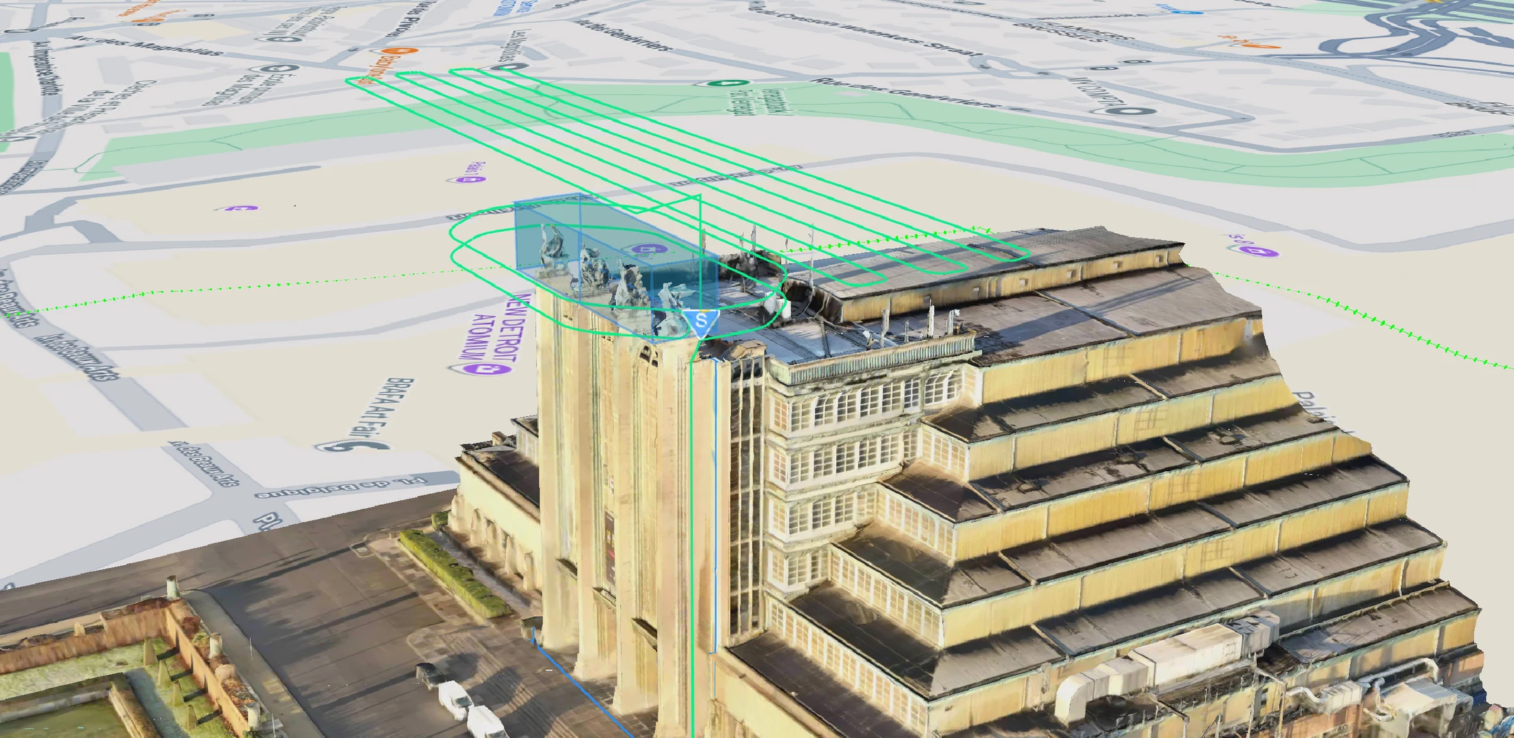
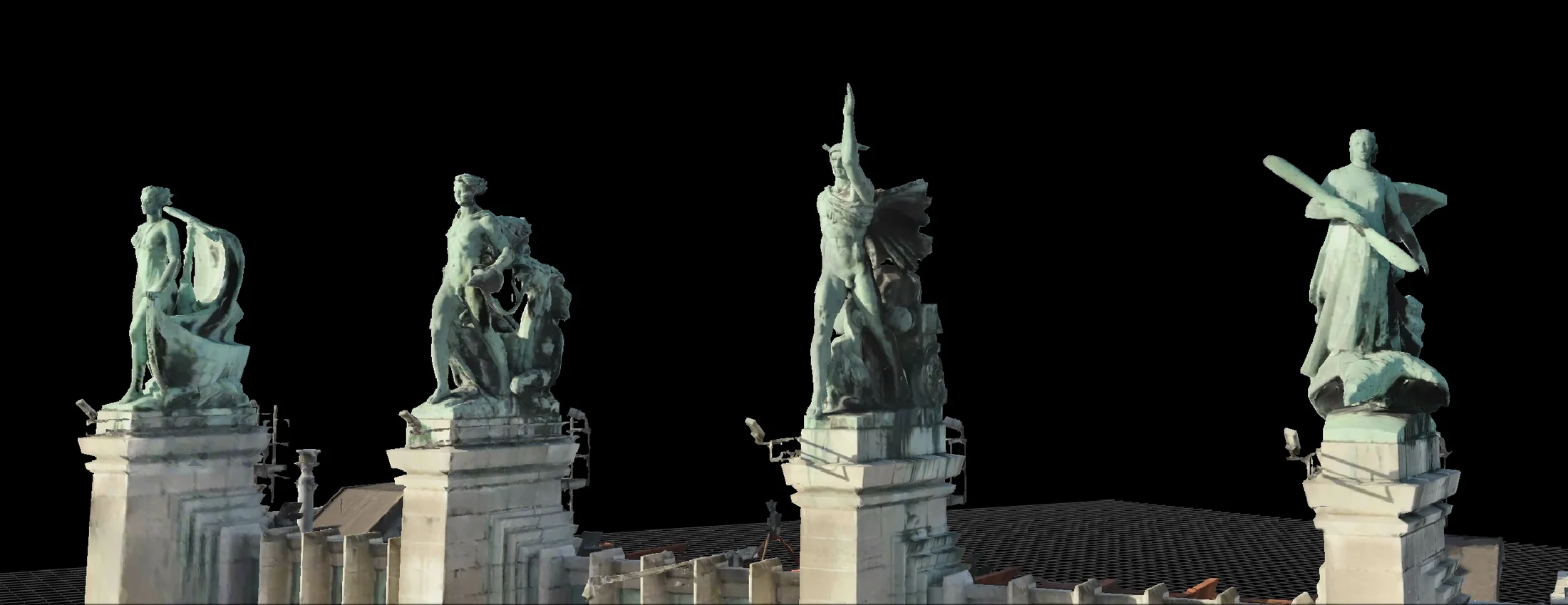
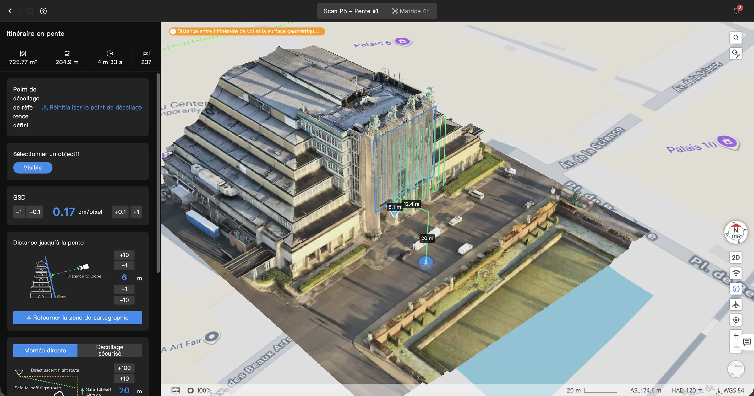
An industrial roof or a listed facade can be inspected without a platform or scaffolding: the drone photographs every slope and every cornice in a few hours, without touching the structure. Cracks, displaced elements and areas of water ingress show up on geolocated images.

Bridges, pylons and high-voltage lines

Bridges, viaducts, pylons and gantries call for strict coordination: live conductors nearby, rail or road traffic to keep running. We prepare every flight with the network operator and deliver a dimensioned record of the defects found.

Wind turbines and solar panels

Optical zoom documents blade condition without stopping the machine longer than necessary; thermography reveals failed cells and faulty strings across your solar arrays.

Industrial and Seveso sites

Stacks, flares, racking, storage tanks: drone inspection limits shutdowns and avoids sending an operator to height or into a hazardous atmosphere. On Seveso sites we work within your prevention plans and access procedures before the first flight.

HD visual inspection and thermography: what the drone detects

A technical drone inspection brings two views of the same structure: high-resolution visual for surface condition, thermal imaging for what the eye cannot see. Our DJI Matrice M30T and M350 RTK carry optical zoom and a thermal sensor on the same flight.

On the visual side: fine cracks, spalling, corrosion, degraded joints, detached elements. On the thermal side: water ingress beneath waterproofing, heat loss, hot spots on solar panels or electrical cabinets. RTK positioning ties every image to a precise position on the structure, so a defect that is detected is a defect that can be found again.

Deliverables your engineering consultancy can work from

You receive a structured inspection report: every defect identified, located on the structure, photographed and characterised, so that your engineering consultancy can move straight to diagnosis. Not a set of attractive pictures, a working document.

Depending on the mission, the report comes with orthophotos and photogrammetric 3D models, delivered in formats your tools can read. These geometric deliverables draw on the same expertise as our drone mapping work: same sensors, same processing chain.

Why inspect by drone rather than by platform or rope access

The drone cuts three costs at once: access, downtime and exposure of people. Where a work platform has to be hired, assembled and often takes a road out of service, the drone is airborne within the hour, with the crew on the ground.

CriterionDronePlatform / scaffoldingRope access
Set-upFlight preparation, a few hoursHire, assembly, sometimes a road permitSpecialist crew, anchor points
DowntimeMinimal, often noneGround footprint, road closedPartial
Risk to peopleCrew stays on the groundWork at heightWork at height
LimitationsNo contact, no soundingReach limited by footprintSlow over large areas
Relative costLowest over large areas and difficult accessHigh as soon as the structure is tallHigh, charged by the day

Let us be straight about the limits: a drone does not sound concrete, does not take samples and does not touch. When your engineer needs to hammer-test concrete or take a core, rope access remains essential. The drone then serves to target those interventions rather than multiply them: you inspect everything, and you climb only where it is worth climbing.

From one-off inspection to a recurring inspection programme

A defect makes more sense over time. We run contracted periodic inspection programmes, with a comparative history of your structures. Same flight path, same checkpoints, every campaign: you see what is changing, not only what is there.

That is the logic behind our Drone-as-a-Service offer: one contract, one point of contact, scheduled campaigns. And for sites that need a permanent presence, the next step is the docked drone, flying on its own to a defined schedule: see autonomous drone surveillance. No other Belgian operator currently structures this continuity between one-off inspection and continuous monitoring.

An operator compliant with EASA and the Belgian Civil Aviation Authority

Our missions are flown under the European EASA framework, in the specific category where the environment requires it: STS standard scenarios, SORA risk assessments for operations outside a scenario, operational authorisations issued by the Belgian Civil Aviation Authority. Flights are covered by professional liability insurance.

This compliance is not subcontracted. Vincent François (formerly UAS at SABCA, EASA STS and DJI certified, including the DJI Inspection & Infrastructure certifications) prepares and runs operations; Stéphane Tilmant builds the SORA files and carries our BVLOS expertise. Coordination with site operators, including in a railway environment, is part of preparing every mission, not an option.

Would you rather bring inspection in house?

Some asset managers want to fly themselves. We are also a DJI Enterprise integrator: we size your equipment, train your teams and support you towards your own authorisations. Your fleet is maintained by our Drone Clinic workshop. Let us talk it through via our integration and training offer: operating for you or making you self-sufficient, both routes exist.

Drone inspection in Belgium: frequently asked questions

How much does a drone inspection cost?

The price depends on the type of structure, its surface area, access constraints and the deliverables requested. Every mission is quoted free of charge and without obligation, shortly after a first conversation about your structure.

Is an authorisation required to fly over an urban or industrial area?

Often, yes: these environments generally fall under the EASA specific category, with an authorisation from the Belgian Civil Aviation Authority and coordination with the site operator. We handle the entire regulatory side, so there is nothing for you to file.

Does the drone replace an expert’s close visual inspection?

No. The drone documents the structure exhaustively and locates defects; the diagnosis remains the work of your engineer or engineering consultancy. It reduces and targets work at height, it does not replace it where contact is required.

What deliverables do we receive, and in what format?

A structured inspection report (PDF) with every defect photographed, located and characterised, plus the source HD images. Depending on the mission: orthophotos, thermograms and a 3D model, in formats your professional tools can use.

Tell us about your structure

Describe your structure and your access constraints, and we will come back to you with a mission approach and a quotation. We operate in Belgium and Luxembourg.

Contact form (sector pre-selected: « Inspection / Infrastructure ») or by telephone: +32 67 88 37 37.